Skip to content
Park World Tour

Park World Tour

Orienteering

  • Home
  • PWT
    • News
    • Next events
      • PWT China Tour (TBC)
      • Nepal International Week (TBC)
    • About Park World Tour
    • PWT history
    • Memories gallery
    • Sponsors and partners
      • Sponsors and partners
      • Old sponsors and partners
    • Contacts
    • Facebook
    • Instagram
  • Park World Tour Academy
    • Park World Tour Academy
    • Seminars and international meetings
      • July 2023 – O-Ringen Academy 2023
    • Past events
      • Mauritius 3 Days Orienteering 2022 – Official site
      • July 2022 – O-Ringen Academy 2022
      • Seminar for Mauritius Ministry of Sport/Education.
      • January 2020– Nepal (planning for big International event)
  • Book Shop
    • Book Shop
    • Basket
Posted on 4th November 2021 by admin

Mauritius – starting with the maps

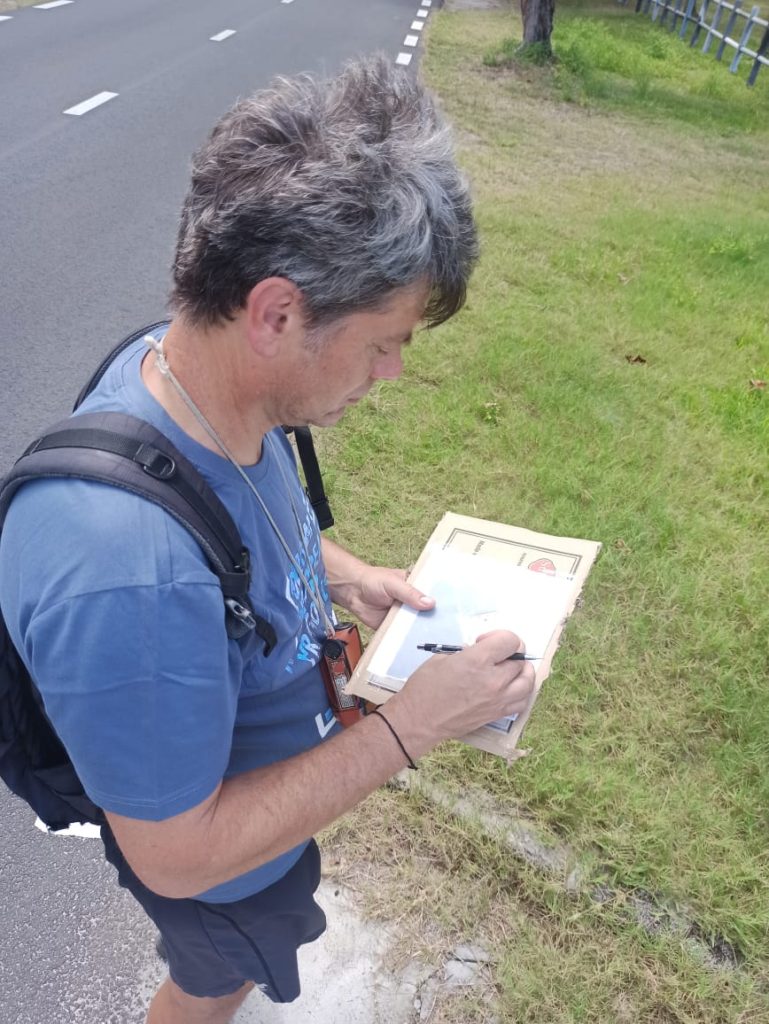
From 15th October 2021 Mr Roman Horky, a professional map maker, was in Mauritius to start to draw the first orienteering maps following the international standards.

He started from Palmar beach area, on the East side of the country.

Roman with John of Orienteering M at Palmar beach
CategoriesUncategorised Tagsmauritius, orienteering, orienteering map, orienteering mauritius, palmar beach

Post navigation

Previous PostPrevious Catching the wedding
Next PostNext Mauritius – map making training

Recent Posts

  • World Orienteering Day 2023: PWT helping new countries 11th May 2023
  • Applications for O-Ringen Academy 2023 6th February 2023
  • Seminar in India continues 5th February 2023
  • Park World Tour Facebook
  • Park World Tour Academy Facebook
  • Park World Tour Instagram
Privacy Policy Proudly powered by WordPress